
Charles Landau, MPA, Staff Writer, Brief Policy Perspectives
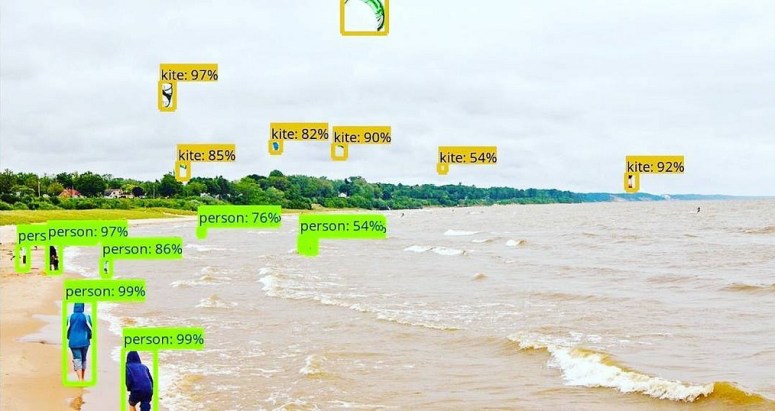
Image recognition and computer vision have come a long way in recent years. Computers and Artificial Intelligence tools have gotten better at identifying all kinds of objects, from people to road signs to hot dogs, but these new technologies can also be used to connect customers with opportunities for installing distributed energy resources, or to reinforce bulk power system resiliency.
What are image recognition and computer vision?
Image recognition is the process by which a computer program automatically recognizes or identifies the contents of an image. By showing the program many images that are correctly labeled “hot dog” or “not hot dog,” the program can be trained to identify if another, new image is a hot dog or not. In a different scenario, image recognition may involve training a program to “classify” many different images, such as handwriting. Computer vision, by contrast, is the broader discipline that tries to emulate biological vision. Computer vision is not just about recognizing content in images or video, but also extracting meaning.
There are some different ways to program these capabilities, but the key to developing image recognition and computer vision is data. The computer program is “trained” on labeled data and then the trained program is evaluated with a “test” set. Some methods call for training many programs at once and culling all but the best, repetitively. Other methods put the programs in direct competition to determine which is the most accurate, or creating many programs and systematically culling the underperforming models and replacing them so that they “evolve.” Regardless of what method is used, the computer cannot learn how to identify hot dogs and “not hotdog” if it does not get training with images of hot dogs and “not hotdogs.”
Mapping the Potential for Distributed Energy
What does this have to do with energy? We will first look at distributed energy. Rooftops with specific properties such as an adequate surface area or angle of inclination are more suitable for solar panel installations and computers can somewhat identify these features from pictures. Although a computer cannot look at a roof and know if it has historical landmark status, the economics of solar energy in the region, or the regional geographical climate, the computer may still be able to identify potentially suitable rooftops from physical appearances. Luckily, with the explosion of open data, energy companies and installers can understand these circumstances as well.
In the geographic information systems (GiS) and location intelligence field, major cities are already taking an interest in developing maps of potential rooftops for solar panel installations. Other applications in similar spaces, like deforestation, are also attracting major partners like Google. Finally, if the promise of modern, distributed energy sources like solar panels is going to be realized, they need to be resilient. This means that the system needs to be hardened against natural disasters as well as unusual (but not disastrous) conditions that might stress the grid. To that end, applications for software that expedites insurance claims in recovery after natural disasters are also being explored. Technology that can get repairs underway more quickly or ameliorate some of the economic burden caused by the damage can help the system fail, and recover, gracefully.
Policy Implications
Our newly discovered power to send a sensor on a truck or a drone to a specific location to look for a specific image with a trained program that can discern that image is actively being monetized. Policymakers have an opportunity to leverage, enable, and guide entrepreneurship in this space, and they should take advantage of it. Developing publicly available maps to connect communities with market potential and resources is a low-cost way to get started. Building programs that make it easier for entrepreneurs to connect their services to public data is another common-sense way to engage with these (and many other) technologies. Many localities are already competing by creating incentives or building attractions intended to entice technology jobs into their jurisdiction, but to benefit from these services, it is more important to connect images with services that can be trained to use them.
